Designing Thematic Maps and 3-D Models at Italian school
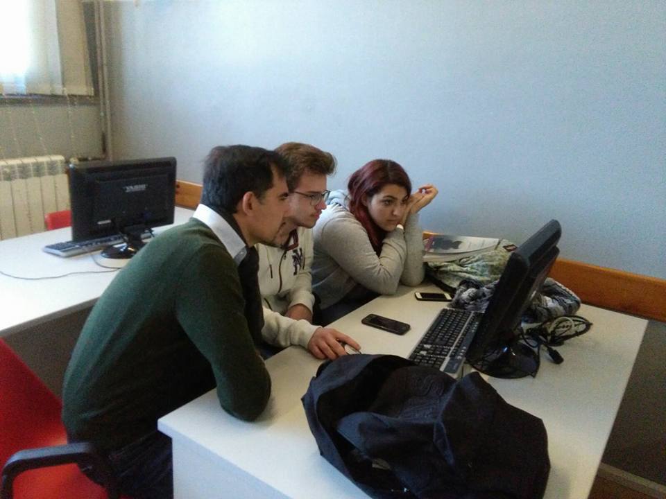
Erasmus Plus team students have been lectured by Mr. Massimiliano Basile Giannini, Science teacher at Liceo Scientifico “Galilei” Napoli, and involved in teacher-driven lab activities to develop collaboration skills aimed at strengthening the competences in natural sciences using ICT (largely Geographic Information Systems and Microsoft Excel), digital mapping and remote sensing (aerial and satellite images).
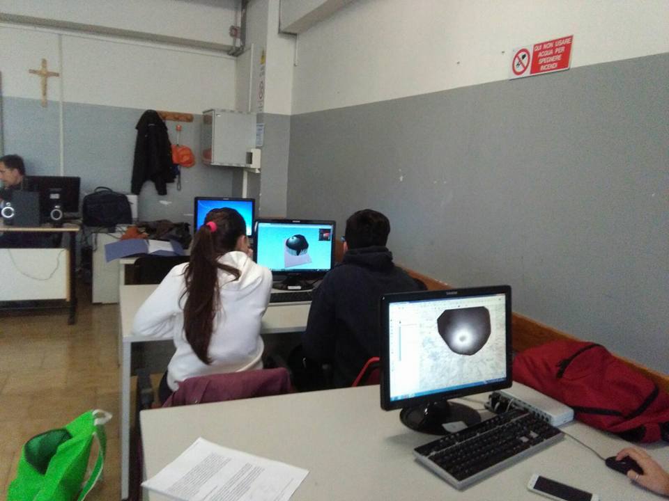
The activities have been carried out with theoretical lessons in which students have been presented basic concepts and taken to exploit the fully potential of Geographic Information Systems in the study and modeling of the territory and environmental phenomena in general.
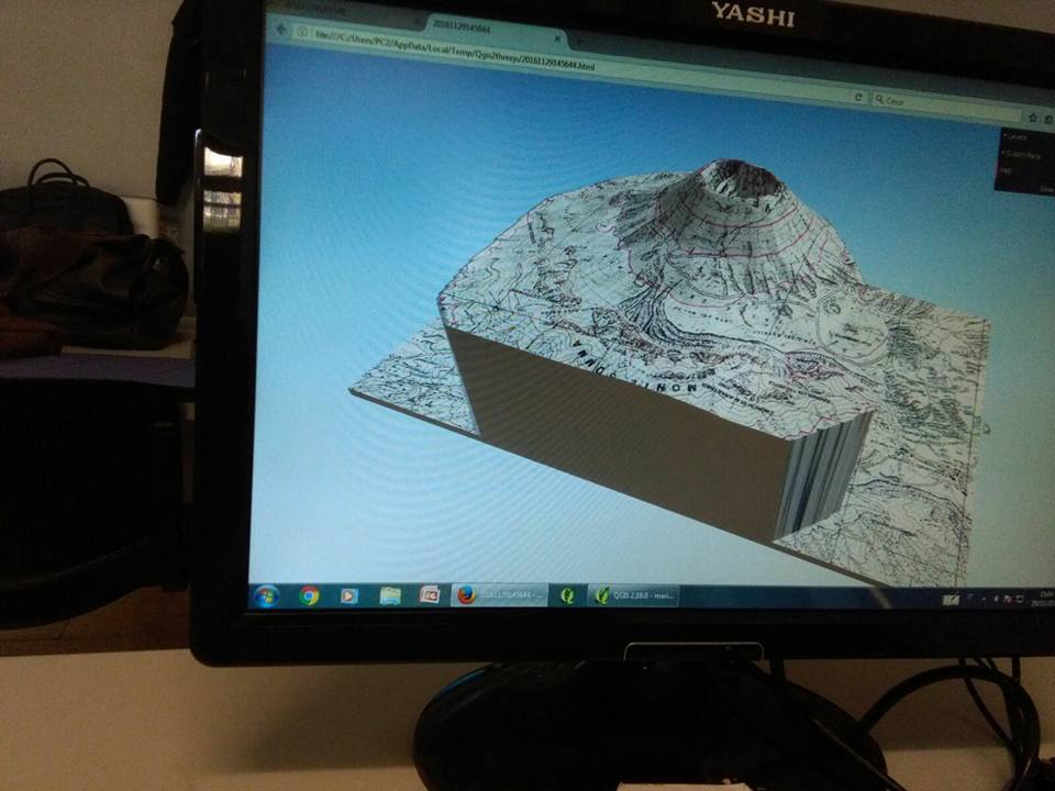
Lab practical activities have taken students to use software to create thematic maps and 3-D models related to a portion of the territory within the Vesuvius area.